
CAD / GIS & Mapping
Engineering-ready CAD drawings, GIS datasets, digital maps and geospatial deliverables — the form in which survey data becomes usable.
What is CAD / GIS mapping?
CAD / GIS mapping is the drafting stage in which measured survey data becomes engineering drawings, structured GIS layers and maps. Survey data earns its value when it reaches the people who design, build and manage — as clean CAD sheets, structured GIS layers and clear maps. BTPL drafts and builds these outputs in-house, from raw field data or from processed aerial products.
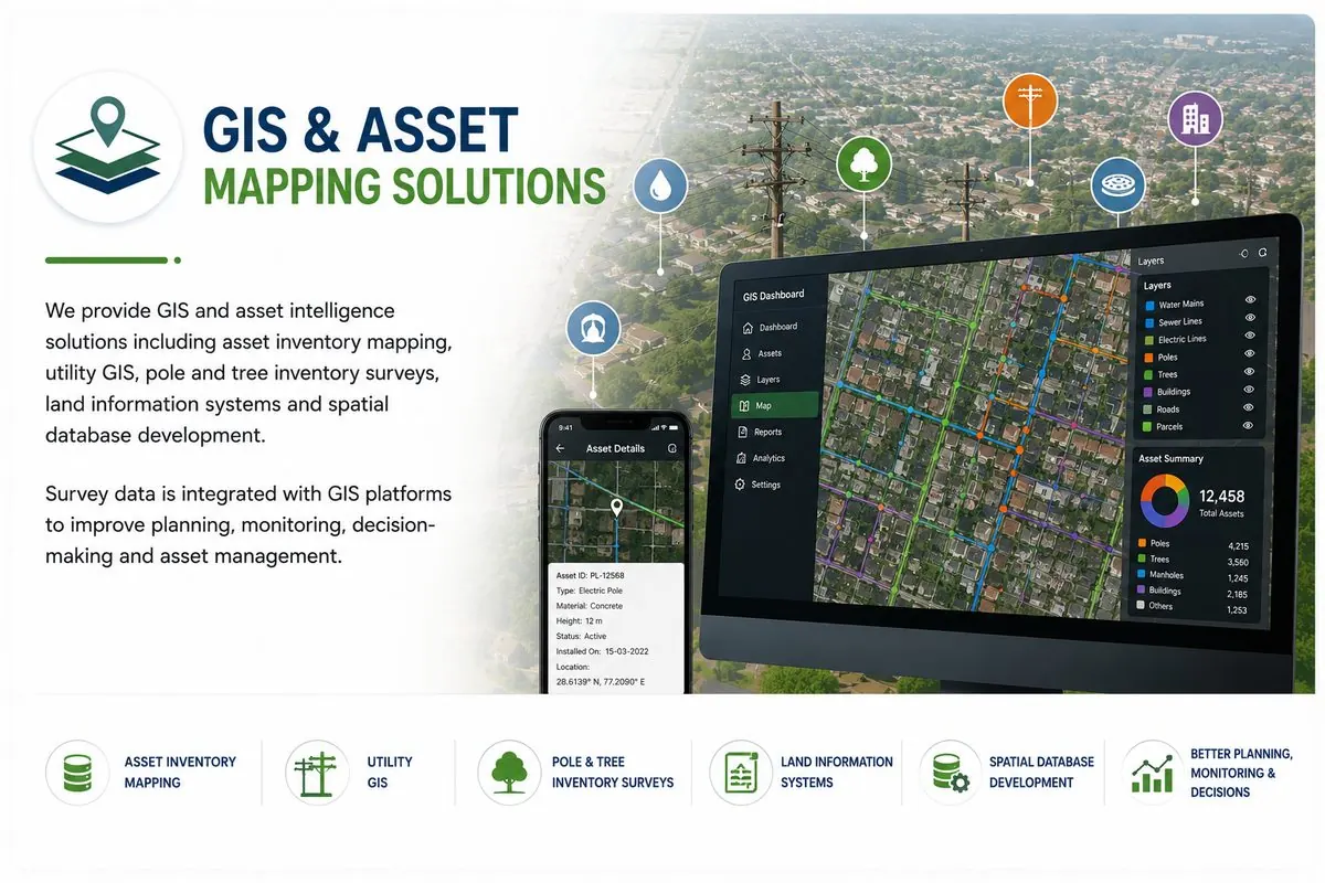
We also build GIS and asset-mapping datasets: utility networks, pole and asset inventories, land-parcel layers and spatial databases that integrate survey accuracy with attribute information.
What does BTPL's CAD / GIS mapping cover?
BTPL drafts survey data into engineering-ready CAD sheets, structured GIS layers and maps in the form that designers, builders and asset managers use directly, including:
- Topographic CAD sheet preparation
- Alignment sheets and strip plans
- Utility and asset mapping GIS
- Land-parcel and revenue-map digitisation
- Thematic and planning maps
- KML/KMZ deliverables for review
- Spatial database development
- CAD platforms (DWG/DXF workflows)
- GIS platforms and spatial databases
- Survey data integration tools
How BTPL Performs the Work
Specification
Layer standards, symbology, sheet layout, datum and formats agreed before drafting begins.
Compilation
Survey data drafted/structured; codes mapped to layers and attributes; topology built for GIS data.
Cartographic finishing
Annotation, dimensioning, legends and sheet composition to a professional drawing standard.
Verification
Cross-checks against source data; topology and attribute validation for GIS layers.
Delivery
DWG/DXF, SHP/GeoPackage, PDF map series, KML/KMZ and databases as required.
Accuracy & Quality Control
Drawings follow the agreed layer and annotation standard sheet after sheet; GIS layers pass topology and attribute-completeness checks. What we deliver opens cleanly in your environment — that is the test.
Related Industries
Related reading and tools
Related BTPL Projects
Common Questions
Can BTPL work in our drawing template?
Yes — supply the template, layer standard and title-block convention and drawings are produced to it.
Do you deliver both CAD and GIS from the same survey?
Yes; the survey database is structured once and exported to both, keeping geometry identical across formats.
Can existing paper/PDF maps be digitised?
Yes — georeferenced digitisation with documented accuracy limits inherited from the source material.
Planning a CAD / GIS & Mapping?
Tell us the location, the approximate area or corridor length, and the deliverables you need — we will respond with the appropriate methodology and a clear proposal.